Menu
About Me
Bio
Contact Me
Books
Anarchy Evolution
Count Down
Eruption
Mapping Human History
Writing and Editing
Consultant Writing
Popular Articles
Scientific Articles
Explore
Victims
Gallery
Mount St. Helens 1980
Mount St. Helens After 1980
Mount St. Helens Before 1980
Buy now!
Amazon
Barnes & Noble
Elliott Bay
iBookstore
IndieBound
Powell’s
Mount St. Helens Before 1980
The Mount Fuji of America
All
Mount St. Helens Before 1980
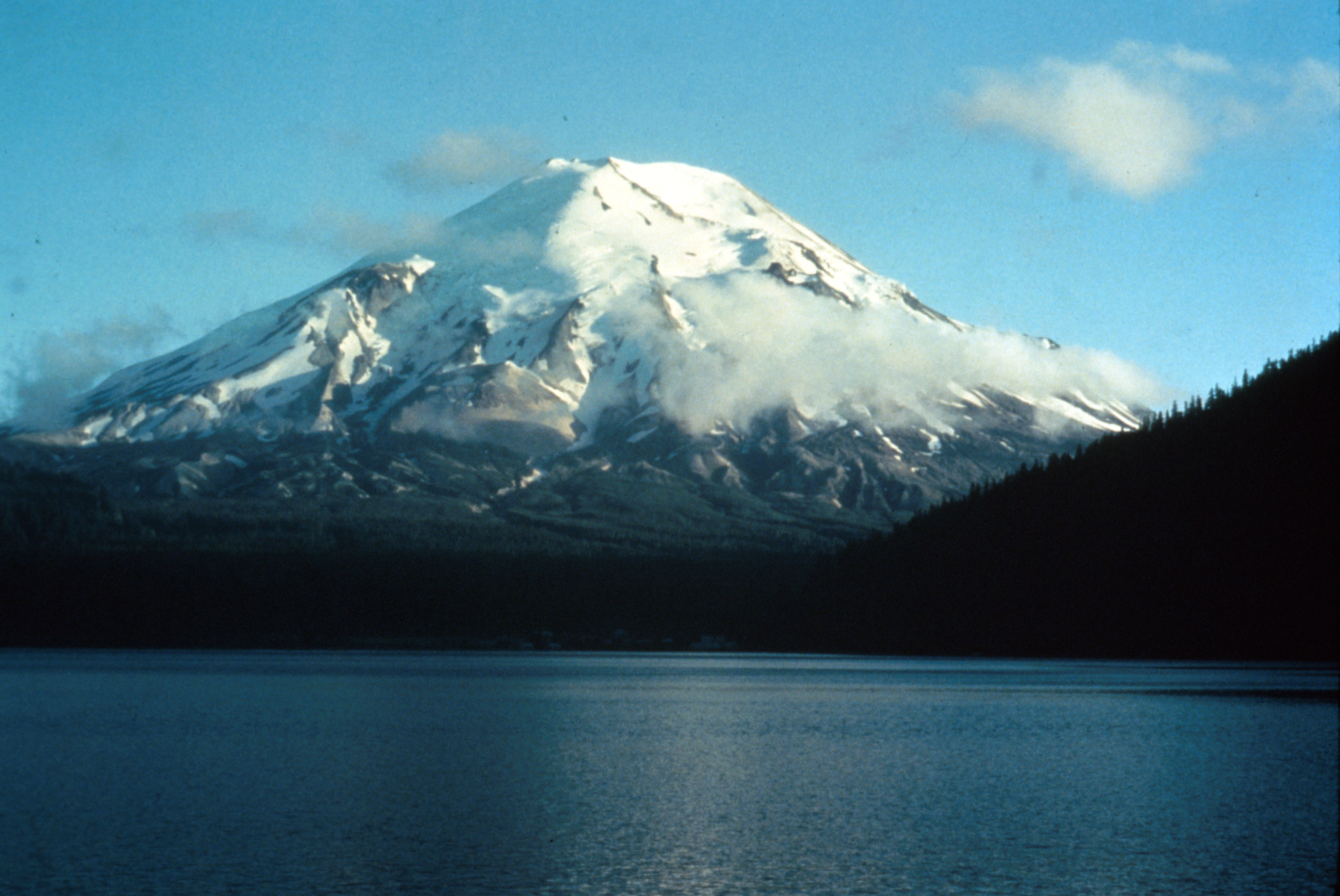
Mount St. Helens before the May 18, 1980 eruption. View from the northeast of Spirit Lake.
Mount St. Helens, aerial photograph taken from the northeast. September 1964.
Mount St. Helens prior to the catastrophic eruption of May 18, 1980. Streams and lava flows also visible. View is looking southerly from oblique aerial view. Mount Hood in distance.
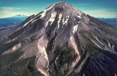
East Dome erupted during Sugar Bowl time (C.E. 850-900) east flank view of Mount St. Helens. Kalama age (erupted about 1535) andesite flows surround dome.
Mount St. Helens
Shoestring Glacier on Mount St. Helens, viewed from the southeast. Photo from May, 1965.
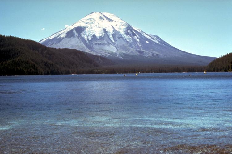
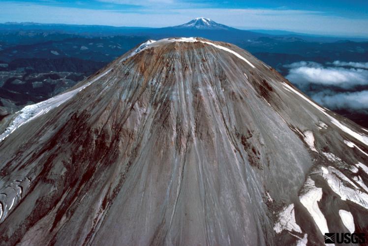
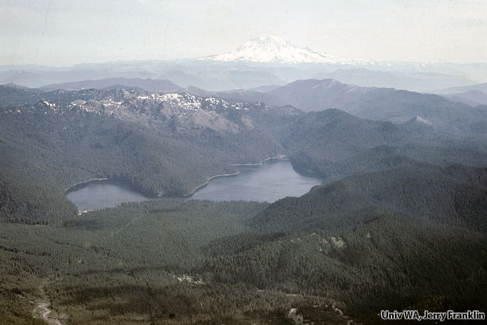
Summit region (Kalama age–1479 to 1720 C.E.) of Mount St. Helens looking northeast. Spirit Lake and Mount Adams in background. September 28, 1979.
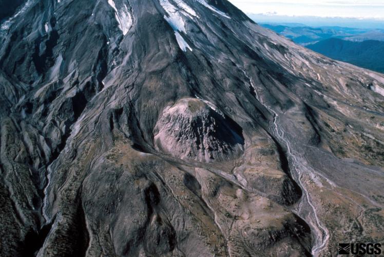
Kalama age, dark andesite flows include a lava-flow complex on the southeast flank of Mount St. Helens and single flows on the southwest flank. Slopes above lava flows are dacite of the summit dome.
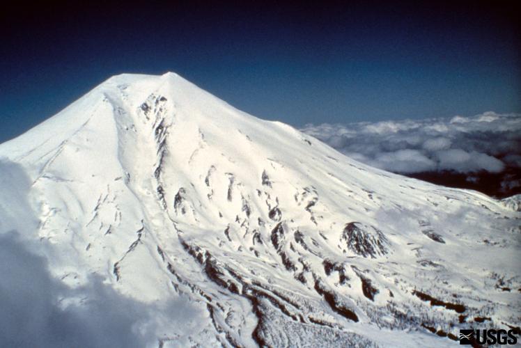
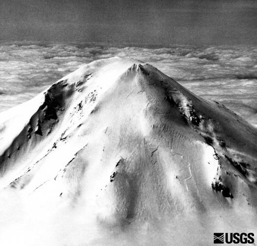
Upper cone of Mount St. Helens before the May 18, 1980 eruption; no unusual fractures despite four previous days of ongoing seismic activity. Aerial view looking west-southwest.
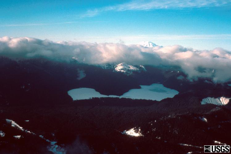
Spirit Lake before the big May 18, 1980, eruption of Mount St. Helenes. View from the south. Mount Rainier, is in the distance.
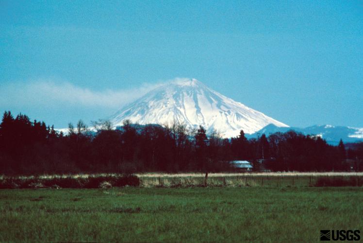
ming Mount St. Helens as seen from Interstate 5, at Chehelis, Washington.
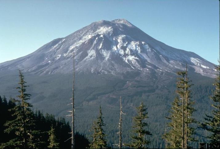
Mount St. Helens on May 17, 1980, one day before the devastating eruption. The view is from Johnston's Ridge, six miles (10 kilometers) northwest of the volcano. Photo taken by USGS geologist Harry Glicken
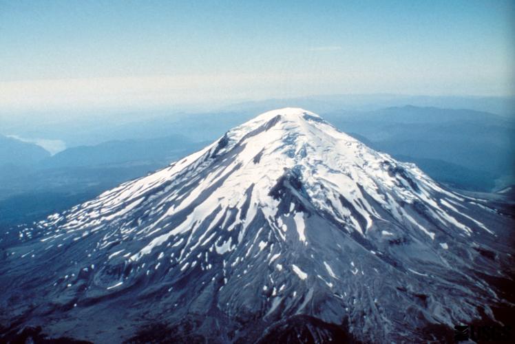
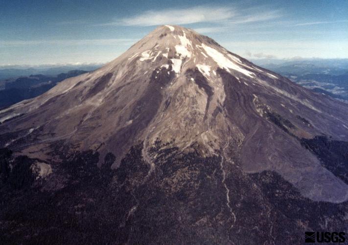
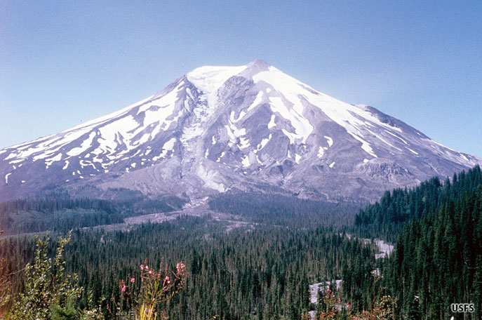
Before the eruption of May 18, 1980, Mount St. Helens' elevation was 2,950 m (9,677 ft). View from the west, Mount Adams in distance. S. Fork Toutle River is valley in center of photo.